ETH Zürich
ArcGIS, QGIS or web apps can simply use this map with web map services. WMTS, TileJSON or XYZ tiles are provided for quick access to processed maps.
Sign in to get links.
Sign in to download GeoTIFF.
Overlay & compare
iiif viewer, iiif info json
Original viewer
Catalog
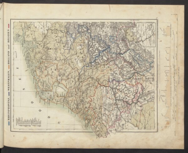
Rheinprovinz, Westphalen, Holland und Belgien
18448155
Atlas
Schul-Atlas in 36 Karten
1843
Völter, Daniel
Verlag der J.M. Dannheimer'schen Buchhandlung