ETH Zürich
ArcGIS, QGIS or web apps can simply use this map with web map services. WMTS, TileJSON or XYZ tiles are provided for quick access to processed maps.
Sign in to get links.
Sign in to download GeoTIFF.
Overlay & compare
iiif viewer, iiif info json
Original viewer
Catalog
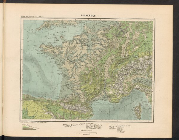
Frankreich
19253466
Atlas
Hypsometrischer Atlas
1856
Ziegler, Jakob Melchior
Topogr. Anstalt v. J. Wurster u. Comp.